
Indispensable information
for the first time boat hirer
and the regular Broads sailor
for the first time boat hirer
and the regular Broads sailor
Norfolk Broads Towns and Villages - Rockland Map
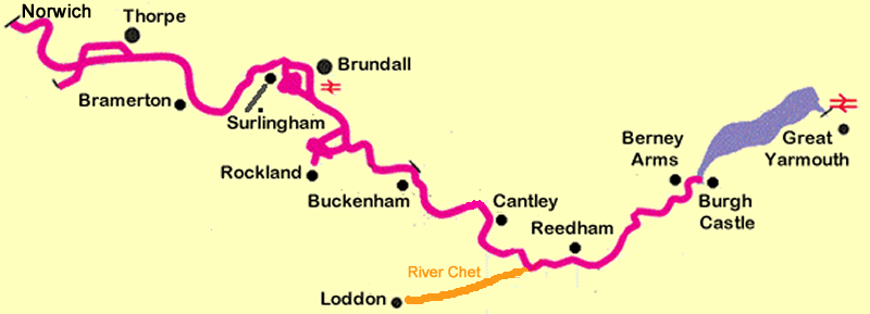
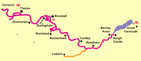
Norfolk Broads Towns & Villages
Rockland Map
The moorings at Rockland can be reached by cruising down either of two dykes leading from the River Yare. Both are sign-posted and lead you to Rockland Broad,which has to be one of the most scenic stretches of water on the whole system. You will need to keep between the posts, which guide you across. There are plentiful mooring spots along Short Dyke (one of the two dykes), just before it opens out to the Broad. Take a look at our village map linked below for full details.Local Attractions: Rockland Broad is close by and a 10-minute walk through the countryside from the staithe will take you to a bird hide which overlooks the Broad. This is part of the Wherrymans Way which continues on to skirt part of the river Yare right up to the outskirts of Norwich. For more information on the Wherrymans Way and its associated walks click HERE
Eating and Drinking: The New Inn can be found just across the road from the staithe moorings. The New Inn has a restaurant as well as serving bar food. There is occasional live music in the main season.
Other Services:A Post Office Stores and newsagent is a pleasant 30-minute walk from the moorings through the village of Rockland St Mary. Walk up the hill from the moorings. The store is at the far end of the same road. Water and refuse disposal is available on the right-hand bank after passing under the bridge.
TIP: When leaving Rockland Broad travel down the other dyke to that which you used to arrive. Both dykes are different and are worth seeing.


Back to town and village selection page

Click for printer friendly map